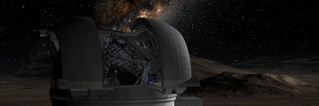


NASA, in partnership with ISRO (Indian Space Research Organization), launched the NISAR satellite, which has just successfully deployed its giant radar antenna in orbit
This antenna, the largest ever used on a NASA mission, will allow Earth to be observed in incredible detail, helping to monitor glaciers, forests, and natural disasters, even through clouds and dense vegetation.
Giant Antenna Unfolds in Space
The NISAR antenna, 12 meters in diameter (like a four-story building), was deployed in low-Earth orbit.
Before that, it was folded like an umbrella, waiting for a 9-meter support structure to extend and lock into place.
The satellite was launched on July 30th from the Satish Dhawan Space Center on the southeast coast of India.
NISAR will observe changes on Earth, such as glacier movement, deformations caused by earthquakes, volcanoes, and landslides, as well as changes in forests and wetlands, with precision down to fractions of a centimeter.
This information will be useful to scientists and decision-makers in areas such as disaster response, infrastructure management, and agriculture.

A Major Advance for Science and Disaster Prevention
“The opening of the NISAR antenna is an important milestone for the mission,” said Karen St.
Germain of NASA’s Earth Science Division.
“The data NISAR will collect will help communities around the world improve infrastructure, prepare for natural disasters, and ensure food security.”
NISAR is revolutionary because it uses two types of radar: L-band radar, which can “see” through clouds and dense forests, and S-band radar, which is excellent for detecting light vegetation and moisture in snow.
The giant antenna is essential to both, and its successful deployment is a major achievement.
Years of Work to Create NASA’s Largest Antenna
“This is the largest antenna ever used on a NASA mission, and we were eager for everything to go smoothly.
It is a crucial part of the NISAR mission, which took years to design, develop, and test,” explained Phil Barela, NASA project manager.
Now, the team is fine-tuning the satellite to begin delivering science data in late fall 2025.
How the Antenna Was Unfolded
The antenna, which weighs about 140 pounds (64 kilograms), is made of 123 composite rods and a gold-plated wire mesh.
On August 9, the support structure began to unfold, joint by joint, until it was fully extended four days later.
On August 15, small explosives released the antenna, which began to open like an umbrella, a process called a “bloom.” Motors and cables then extended the antenna to its final position, locked and ready to operate.
Detailed Images of the Earth
The antenna is designed to create images of the Earth with pixels about 10 meters in size, the size of a school bus.
NISAR’s radar uses a technique called synthetic aperture radar (SAR), which simulates a much larger antenna, up to 19 kilometers across, to obtain sharp images.
“It’s like a camera lens: the larger the lens, the sharper the image,” explained Paul Rosen, project scientist.
With this technology, NISAR can create “3D movies” of changes on the Earth’s surface, comparing images over time.
A History of Cooperation
NISAR is the largest joint Earth science project between the United States and India.
The satellite was built by ISRO, which also provided the S-band radar, while NASA contributed the L-band radar, antenna, support structure, and communications systems.
The mission is controlled by ISRO’s telemetry network, and scientific data is received by NASA.
With NISAR, scientists will be able to better understand how the planet is changing, from melting glaciers to the impact of natural disasters.
This mission is a giant step forward in tracking Earth’s transformations and helping to protect the future of our planet.
Published in 08/18/2025 08h36
Text adapted by AI (Grok) and translated via Google API in the English version. Images from public image libraries or credits in the caption. Information about DOI, author and institution can be found in the body of the article.
Reference article:
| Geoprocessing Drone Systems HPC |
| ERP and CRM Systems Mobile Systems AI |